DELİCAN
Vertical Take-Off and Landing

Vertical Take-Off and Landing

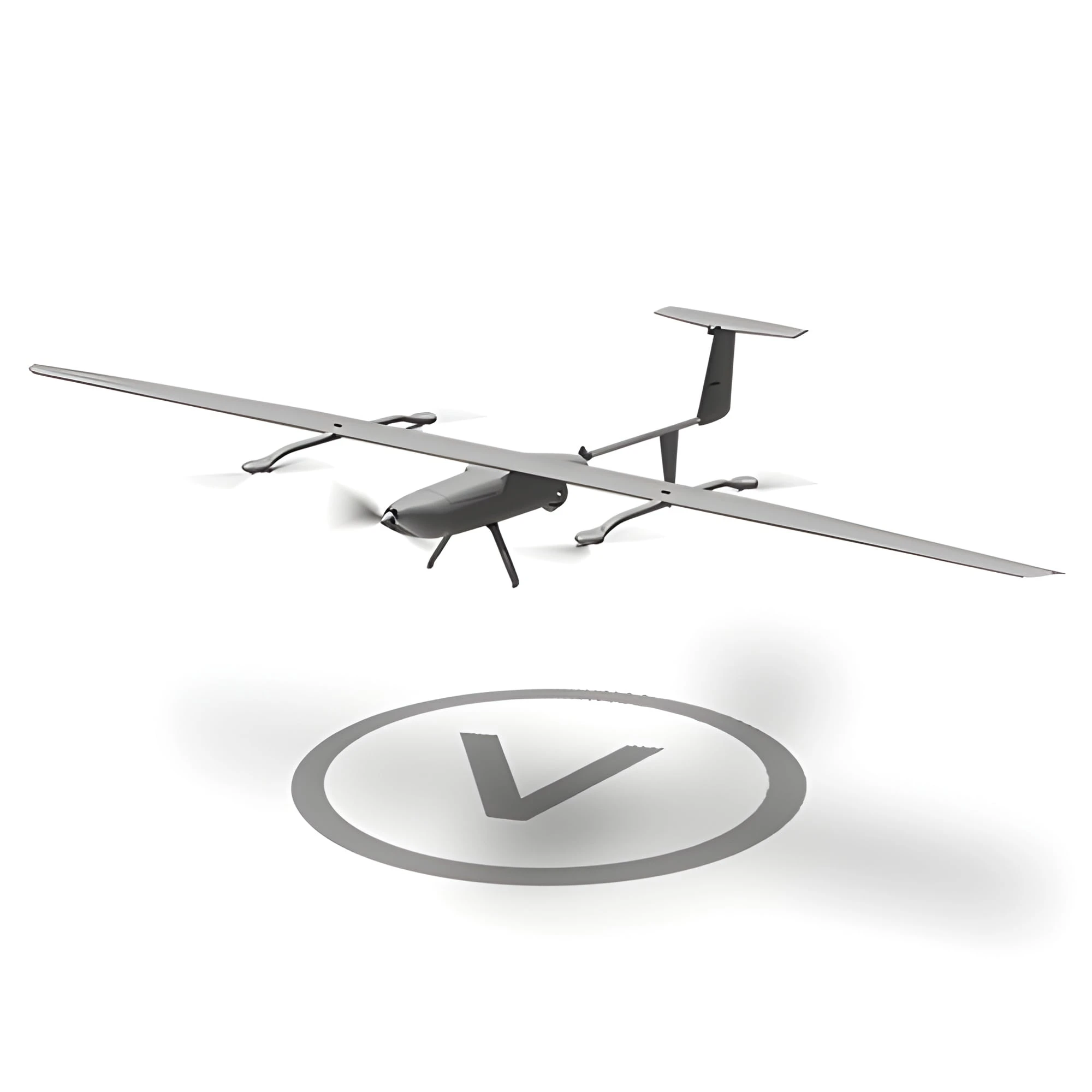
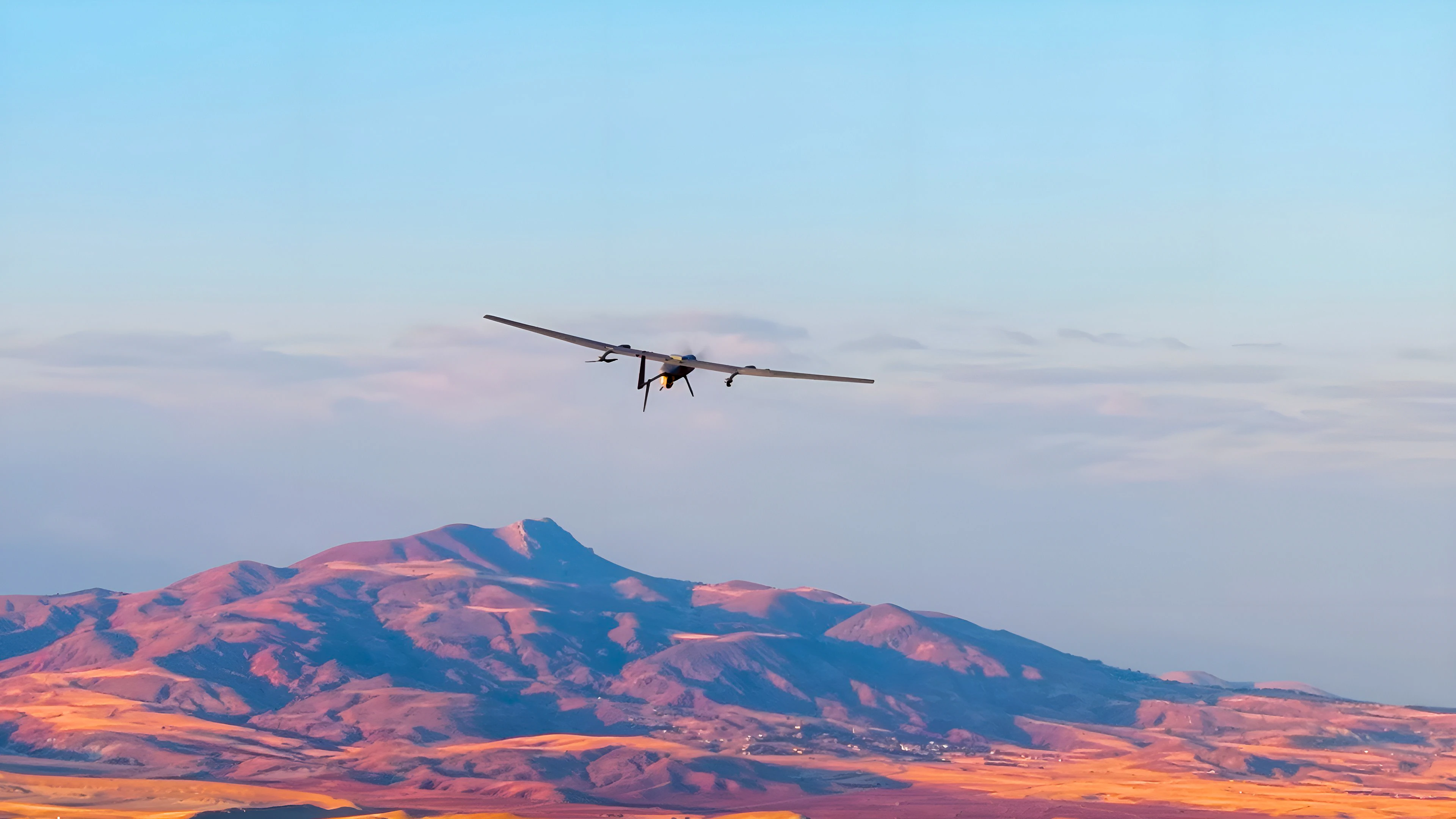
DELİCAN is an unmanned aerial platform capable of vertical take-off and landing (VTOL) without a runway or launch system. It can take off and land within an 8 × 8 metre area, including on stationary or moving land and maritime platforms, supporting flexible deployment and operational readiness.

2,5 kgPayload Capacity
40+ kmCommunication Range
180+ minEndurance
4,6 mWingspan

Used Areas

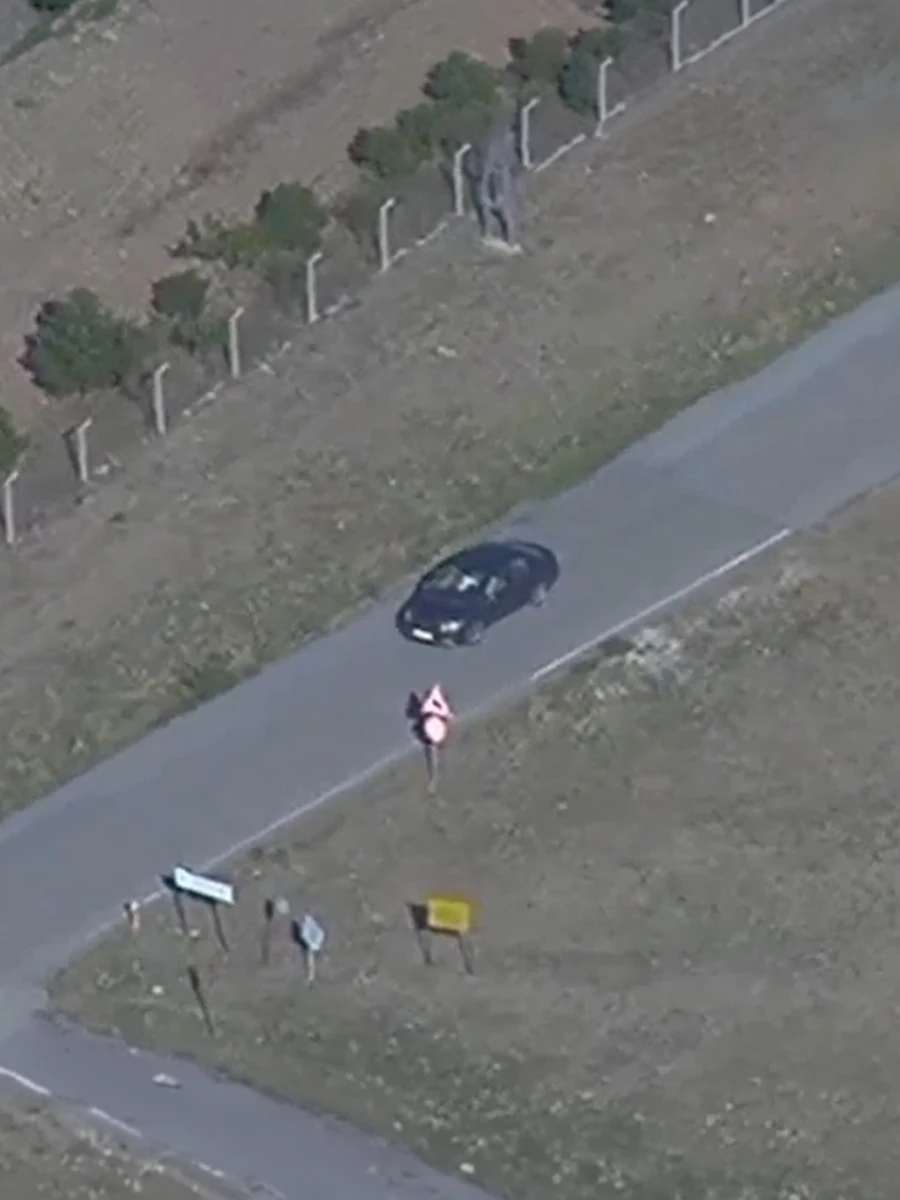
Reconnaissance and Surveillance

Reconnaissanceand Surveillance

Public Safety and Security

Public Safetyand Security

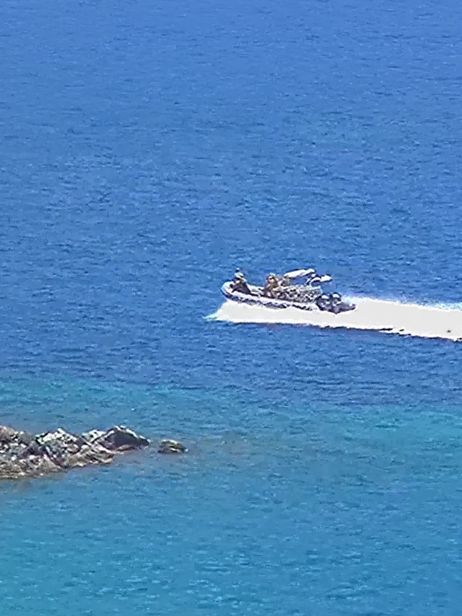
Border and Coastal Security

Border andCoastal Security

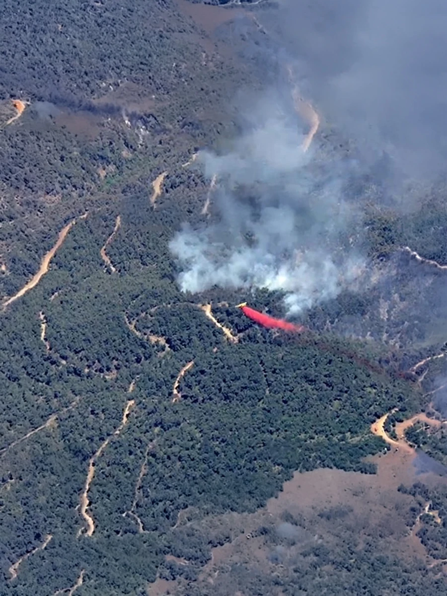
Disaster Response and Emergency Management

Disaster andEmergency

Modular Design

General
Specifications

Maximum Take-Off Weight 32 kg
Maximum Speed 30 m/s
Maximum Altitude (MSL) 4.250 m (14000 ft)
Operating Altitude (AGL) 500 – 1.500 m (1600–5000 ft)
Navigation
8-Element CRPA GNSS Antenna Interference Detection and Adaptive Filtering Software
Wind Limits
Take-Off/Landing – 10 m/s (20 kt) Flight – 16 m/s (31 kt)
Deployment Rapid deployment by two operators in 20 minutes
DELİCAN Gimbal Camera

Gimbal Camera

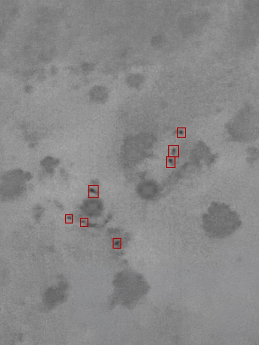
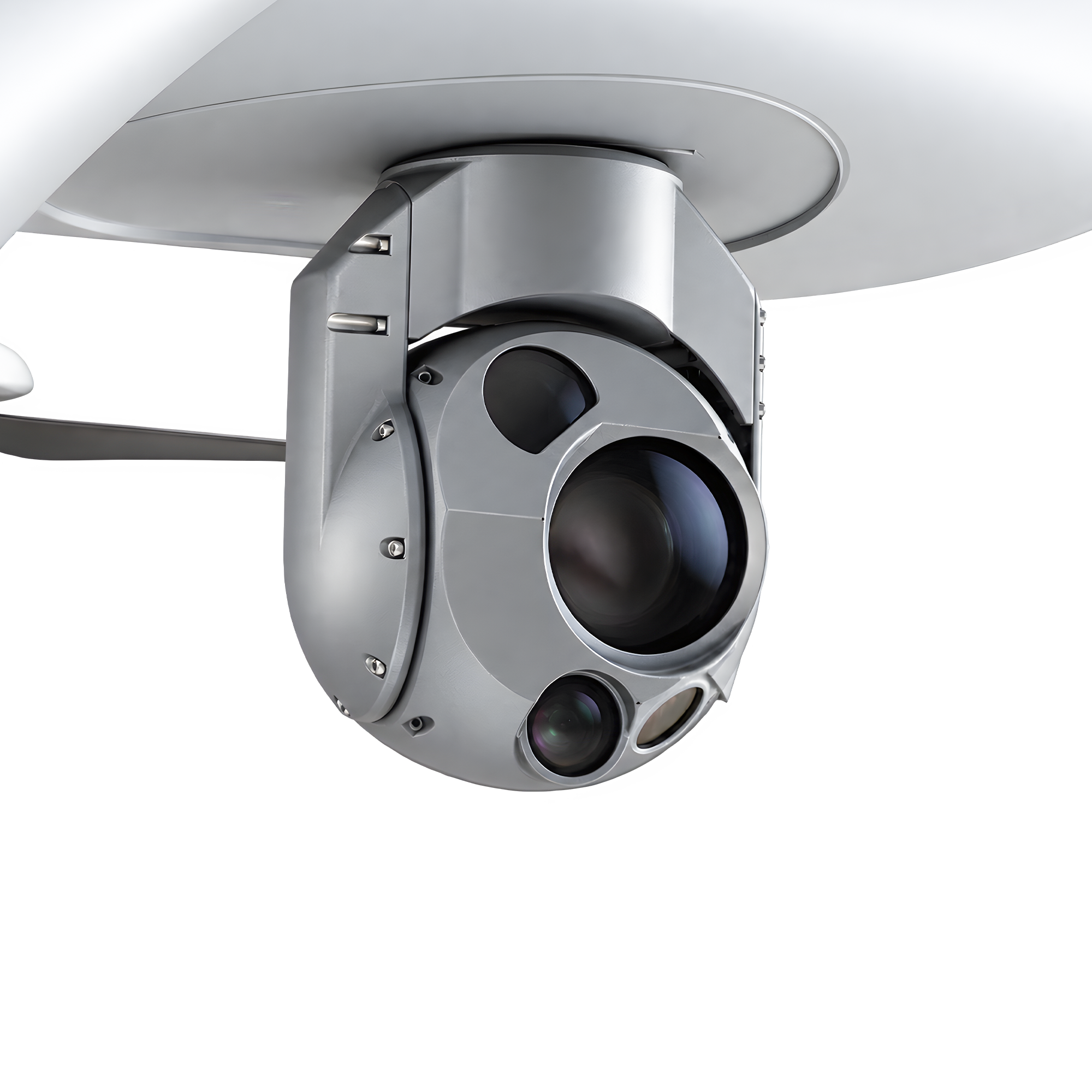
The gimbal camera system integrated into the DELİCAN UAV combines electro-optical (EO) and thermal sensors for reconnaissance and surveillance in challenging weather conditions. Its image processing and target tracking capabilities support precise identification, real-time situational awareness and monitoring of the operational area.

Electro-Optical (EO)

  • 1080p Full HD resolution
  • 180× zoom
  • 45° – 0.3° field of view (FOV)

Infrared (IR)

  • LWIR 1280 × 1024 resolution
  • 4× zoom
  • 18.2° – 4.6° field of view (FOV)
  • Thermal imaging

Image Processing and Target Tracking

  • Precision target geolocation
  • Electronic image stabilisation
  • Onboard image processing and scene tracking
  • Automatic target tracking
  • Moving-target detection
  • In-frame target lock
  • Imagery overlay on 3D maps
Take-Off and Landing Capability on Moving Platforms

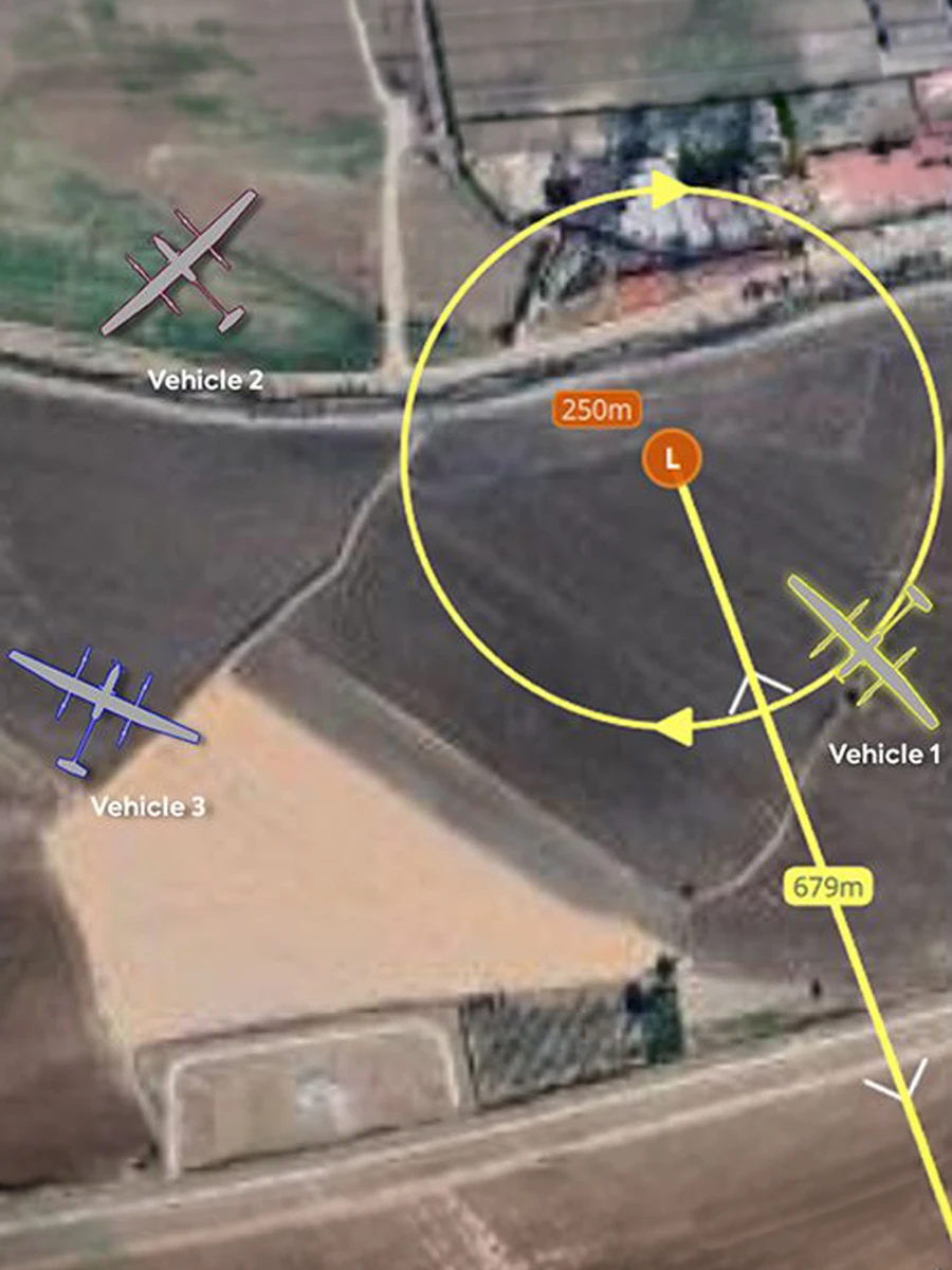
Mission Handover

Ground Control Station

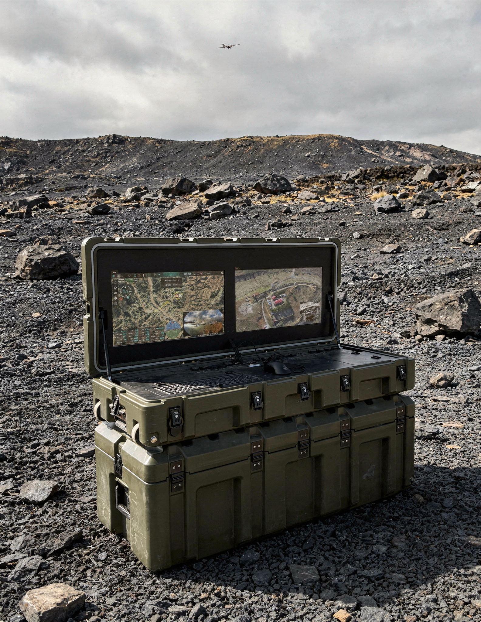
Developed by Enetki Defence, the portable ground control station (GCS) supports continuous aircraft command, control and mission management in the field.

  • 01 High Display Brightness
  • 02 Full HD Display Resolution
  • 03 Internal and External Power Supply
  • 04 Easy Setup and Transport
  • 05 Concurrent Operation by Two Operators
  • 06 3 Hours of Continuous Operation
Enetki portable ground control station

Advanced Software Systems

Advanced UAV and fleet management system

Advanced UAVand FleetManagement

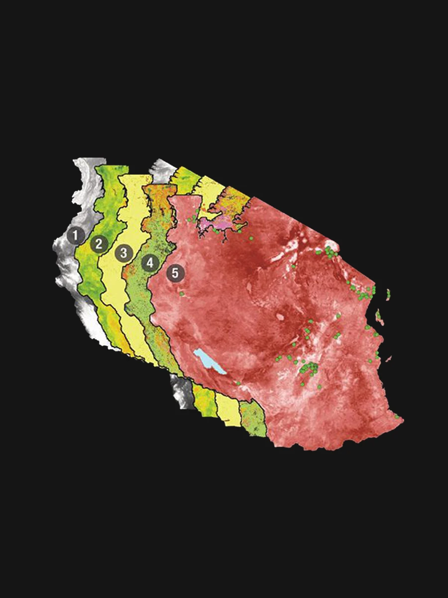
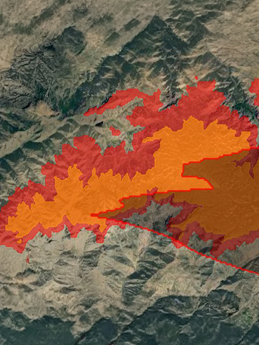
Multi-layer mapping system

Multi-LayerMappingSystem

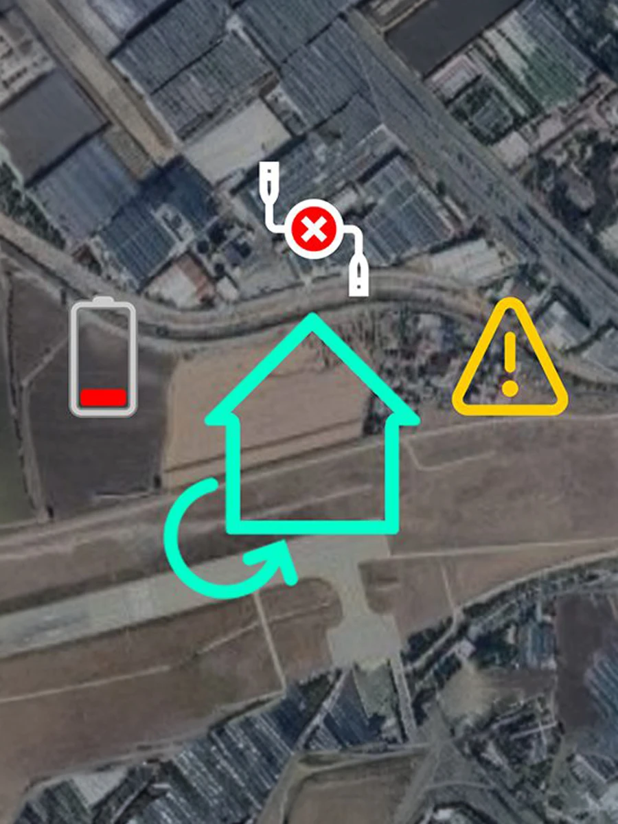
Automated emergency protocols

AutomatedEmergencyProtocols

Line of Sight and Altitude Detection system

Line of Sight and AltitudeDetection

Explore Technical Details

Request a Catalogue